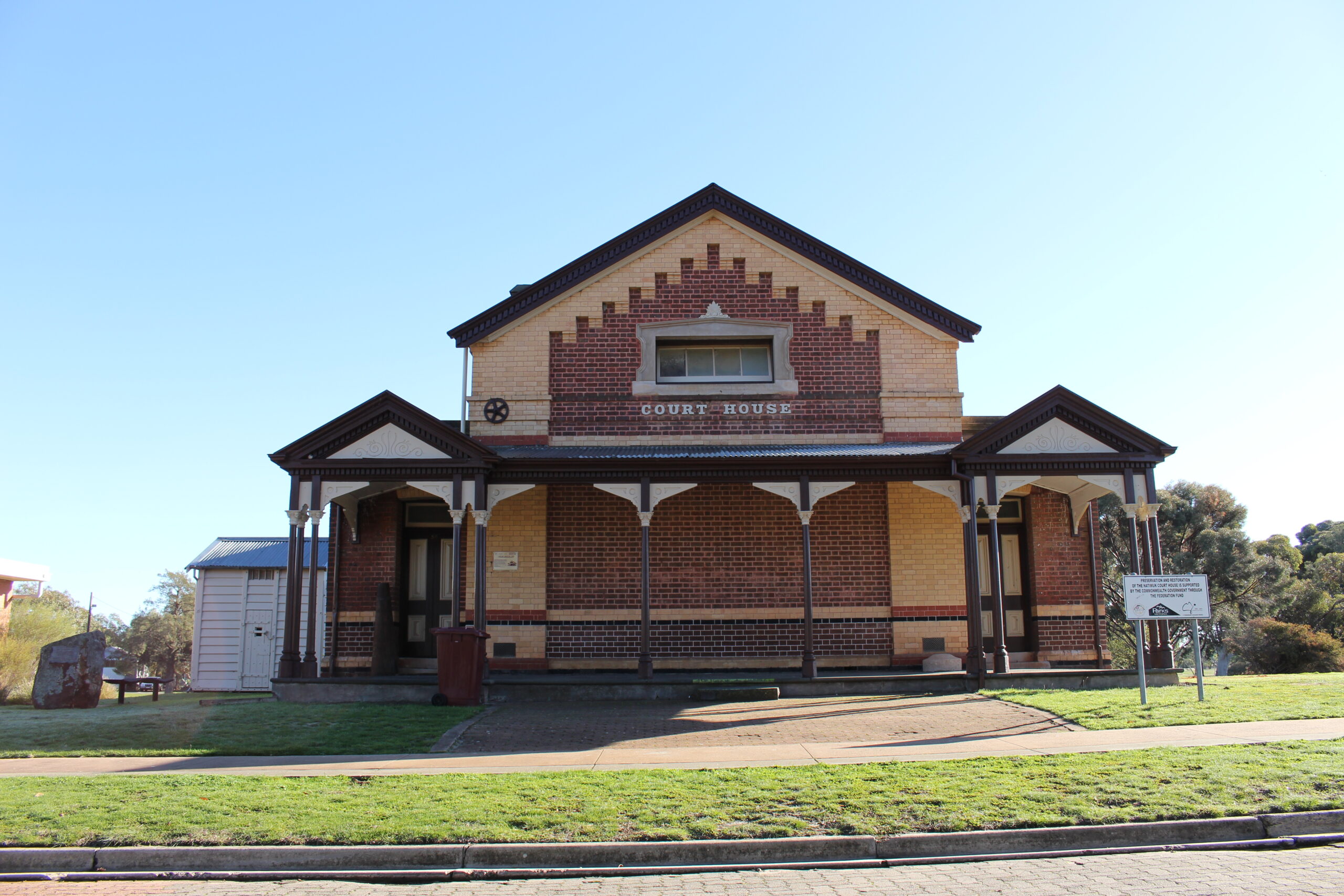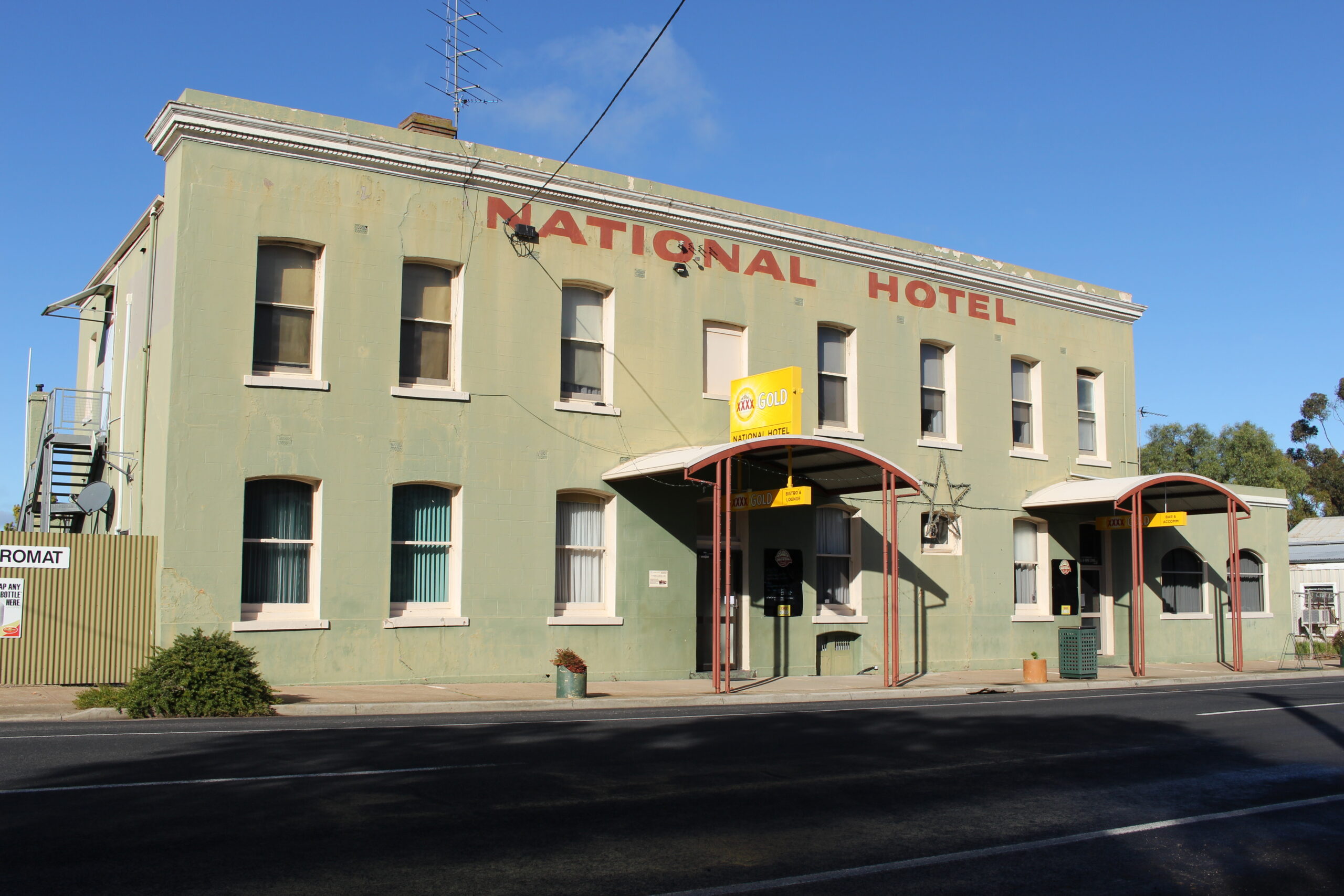
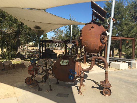
Natimuk is a small township situated half-way between Melbourne and Adelaide, 25kms west of Horsham, 8kms east of Mount Arapiles and south of the Little Desert National Park. Natimuk is over 125 years old and was once the largest town in the District. There were over 70 shops and industries, including a flour mill and steel foundry, and it was one of the first Victorian towns to have its own electricity supply in 1927. The name Natimuk reportedly comes from the Jardwadjali word for ‘little creek’.
Natimuk has a population of approx. 660 people and is comprised of 47.8% males and 52.2% females. The average age of the Natimuk population is 49 years of age, which is 12 years above the Australian average. 51.4% of people are married, 27.8% have never been married and 7.6% are seperated or divorced. There are 56 widowed people living in Natimuk.
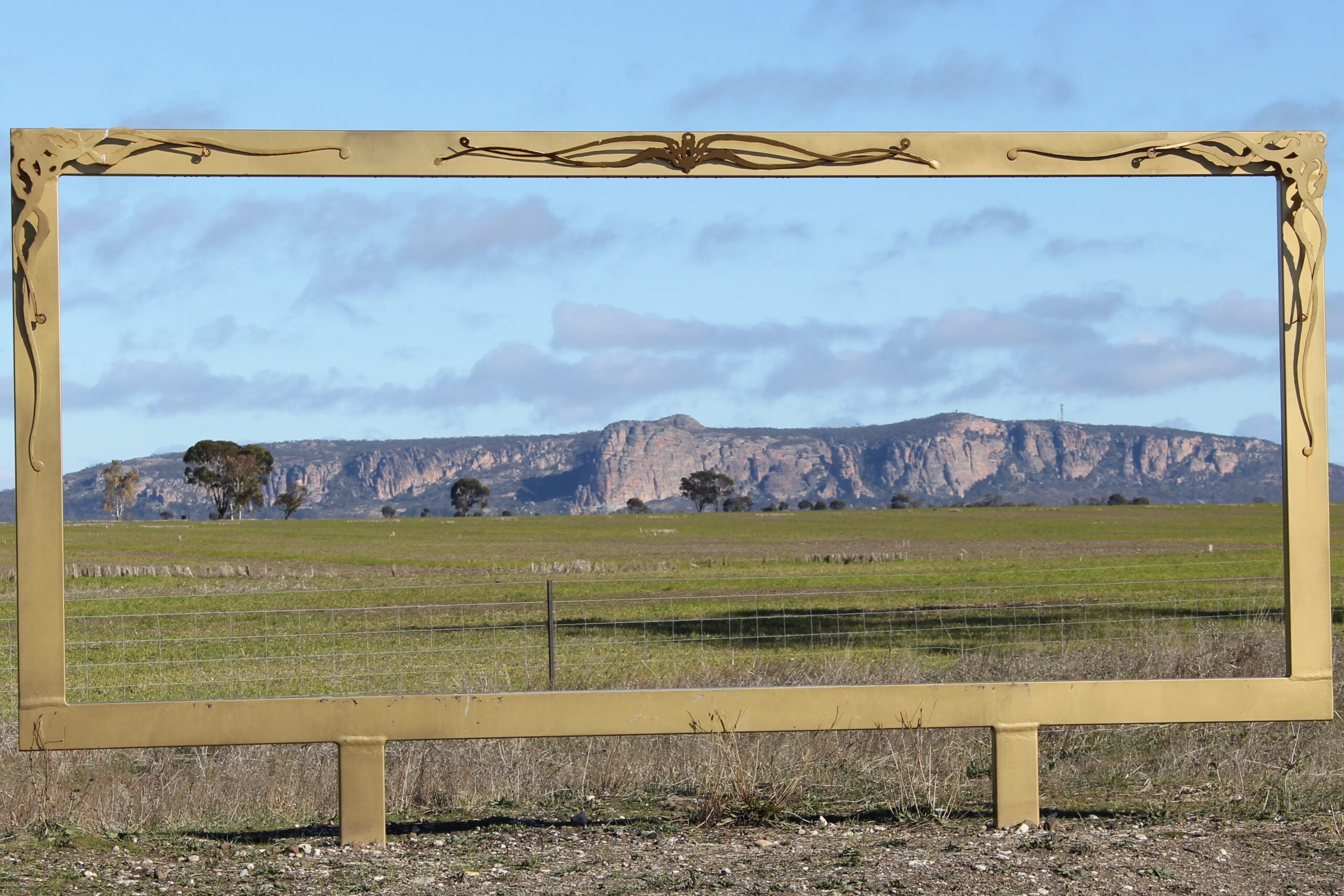
Mount Arapiles is a rock formation that rises about 140 metres above the Wimmera Plains. Mount Arapiles is primarily composed of quartzite, a metamorphic rock that was originally sandstone. Tectonic compression subjected the rock to intense heating and pressure, fusing the original quartz sand grains and quartz silica cement into one mineral. There is a distinct red/orange tinge that is due to trace amounts of iron oxide and various other impurities.
The first recorded ascent of Arapiles was on 23 July 1836, by its European discoverer, Major Thomas Mitchell, hence the naming of the Arapiles Major Mitchell Trail and of Major Mitchell Drive along the Wimmera River in Horsham. He named the landmark after the Arapiles hills near Salamanca, Spain where the Battle of Salamanca took place, in which Mitchell had seen action.
An extract from Mitchell’s diary on 23 July reads: “This certainly was a remarkable portion of the earth’s surface, and rather resembled that of the moon as seen through a telescope”. There is a plaque commemorating his contributions to Arapiles on the aptly named “Plaque Rock”, which is close to the current campgrounds.